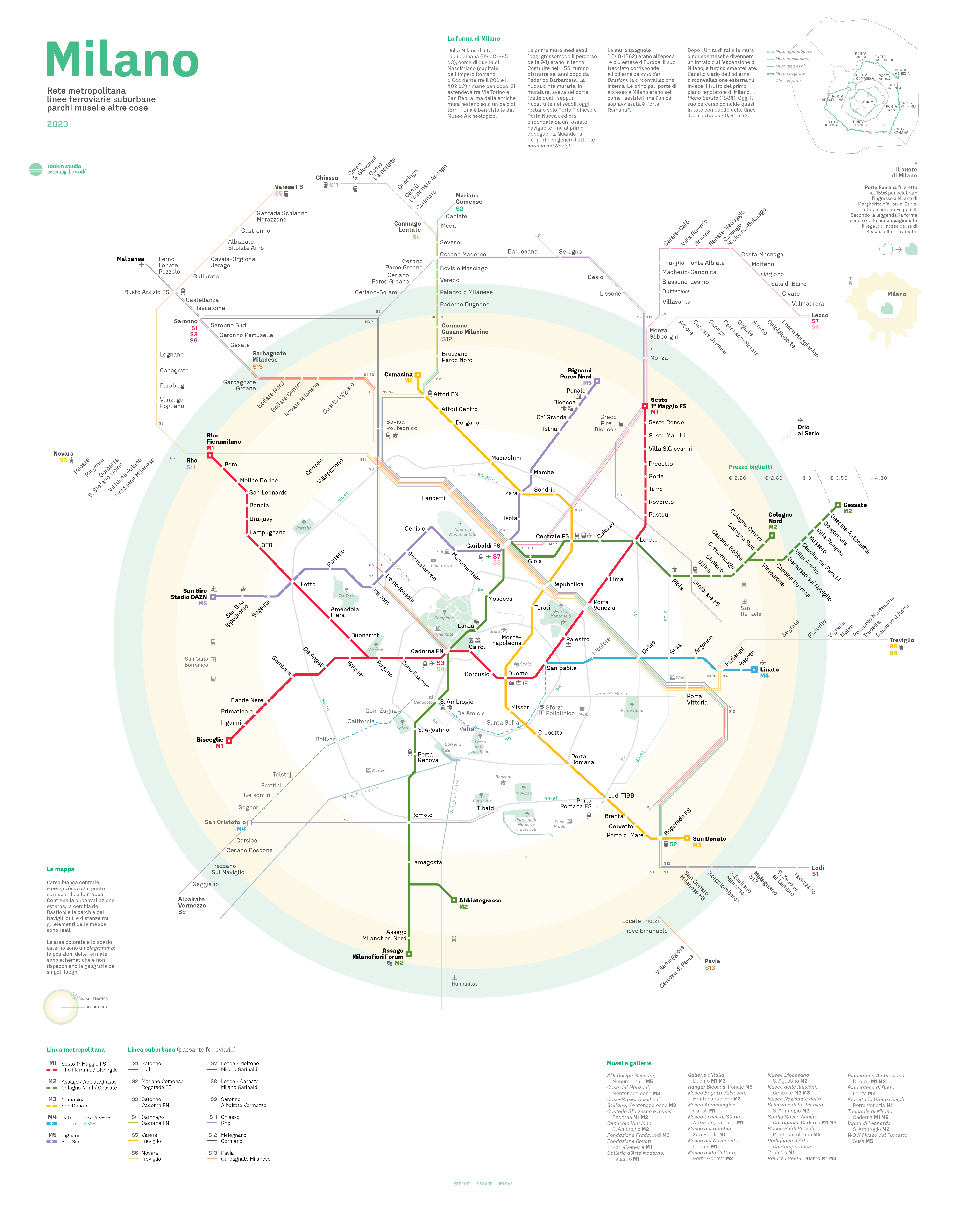
Milan metro map concept redesign - 2023
Cartography - Map Design
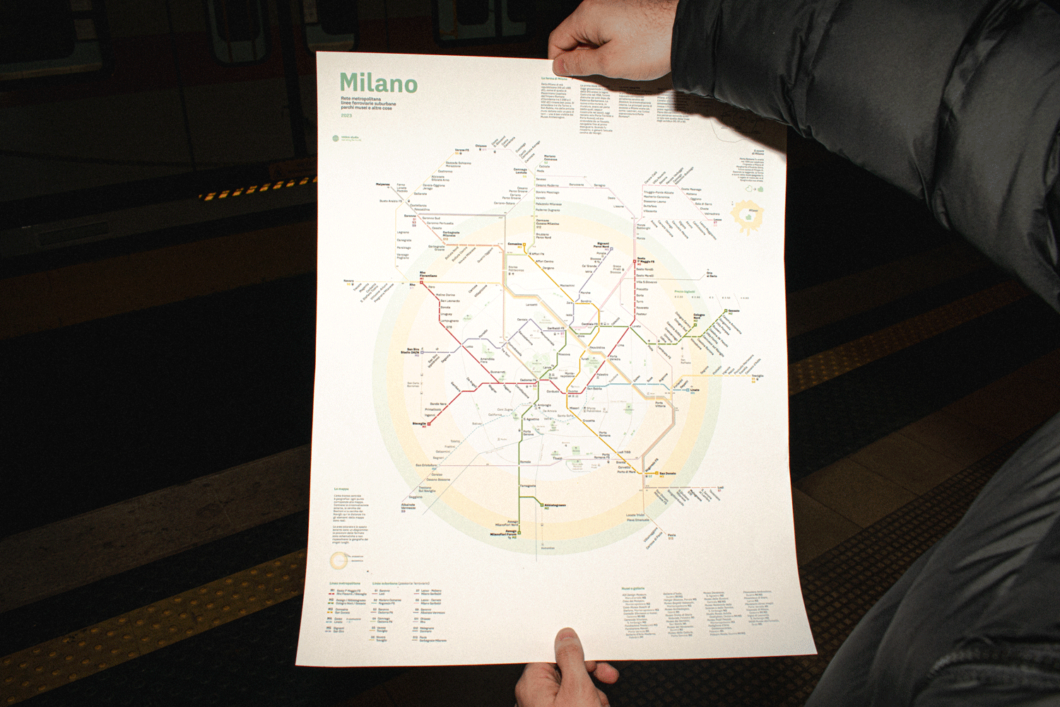
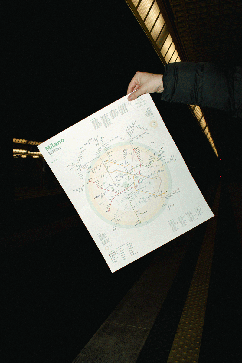
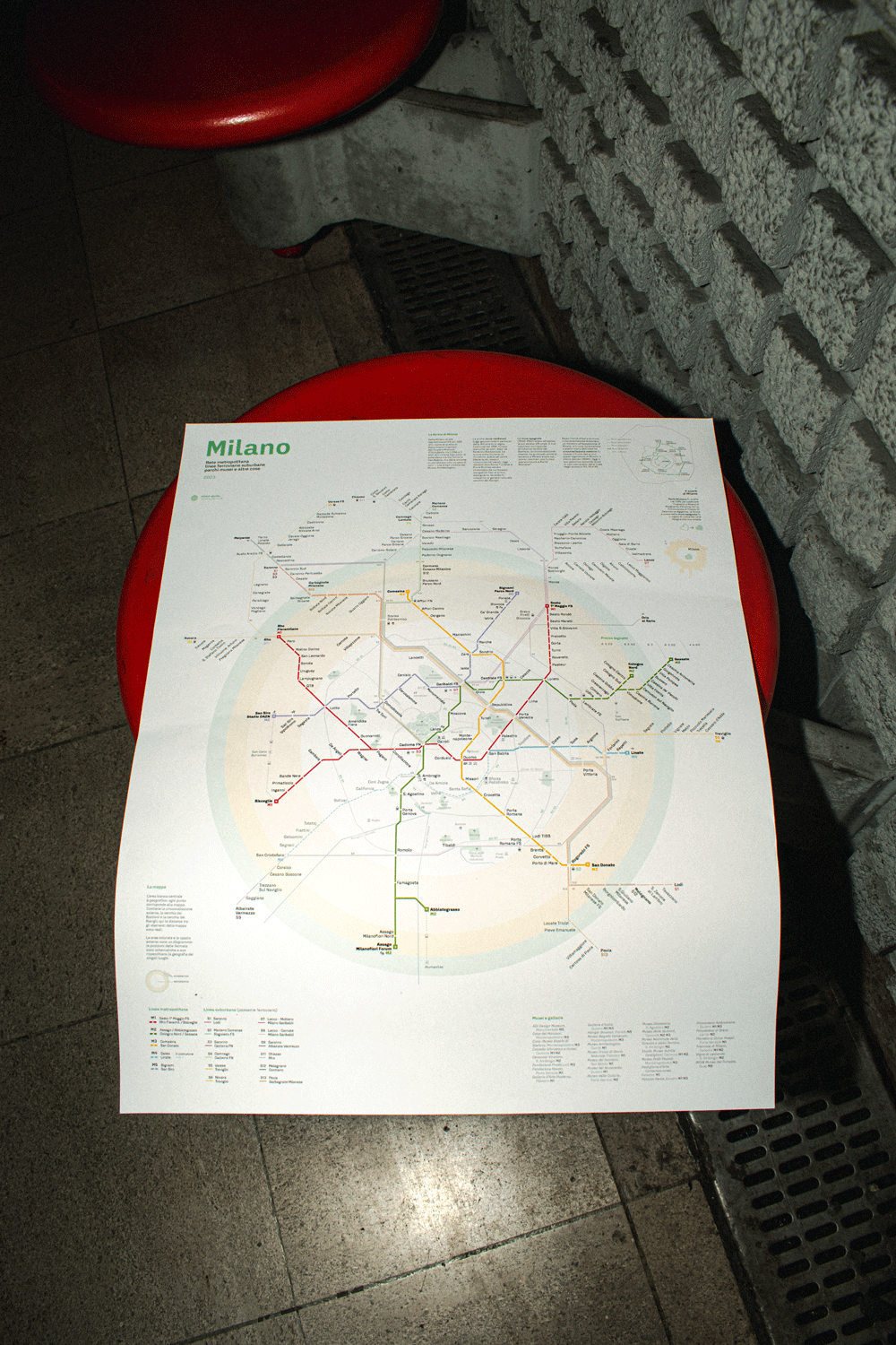
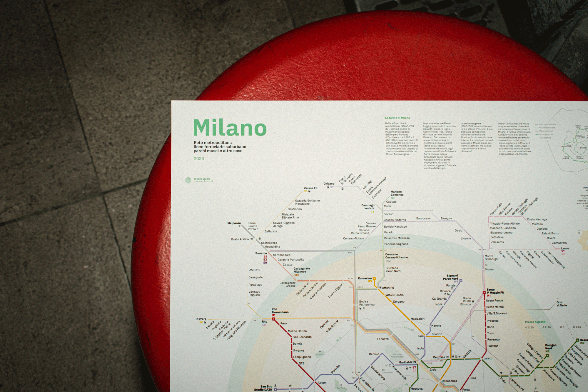
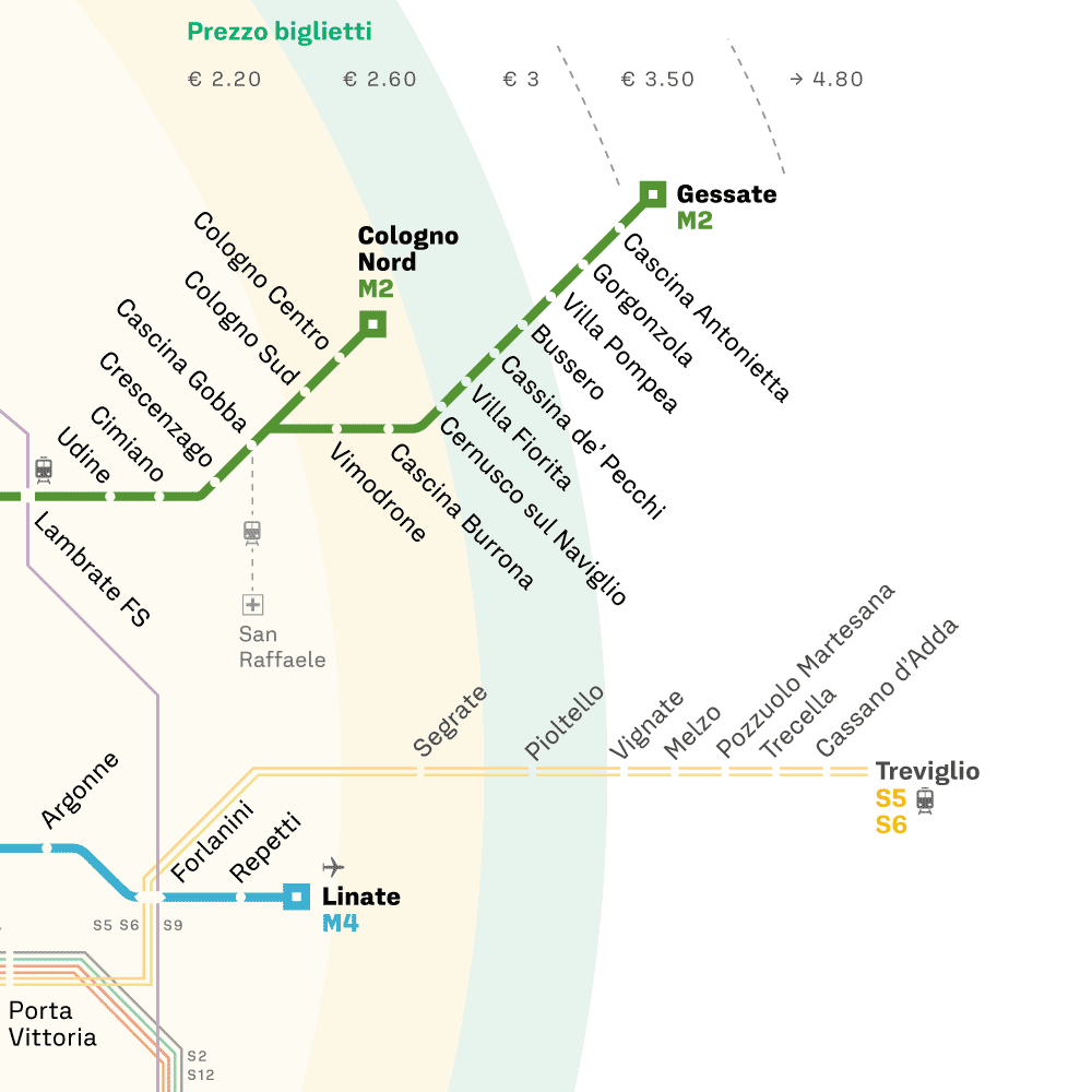
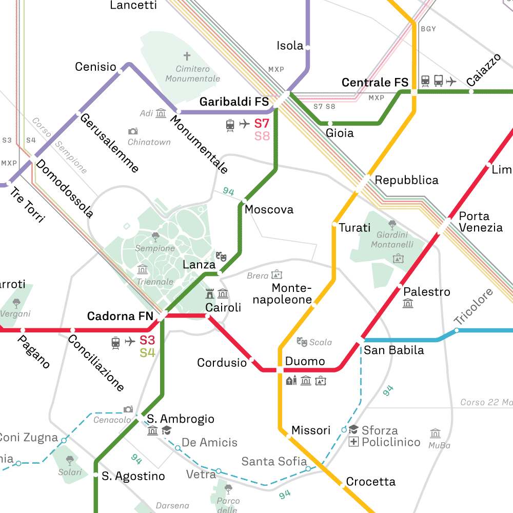
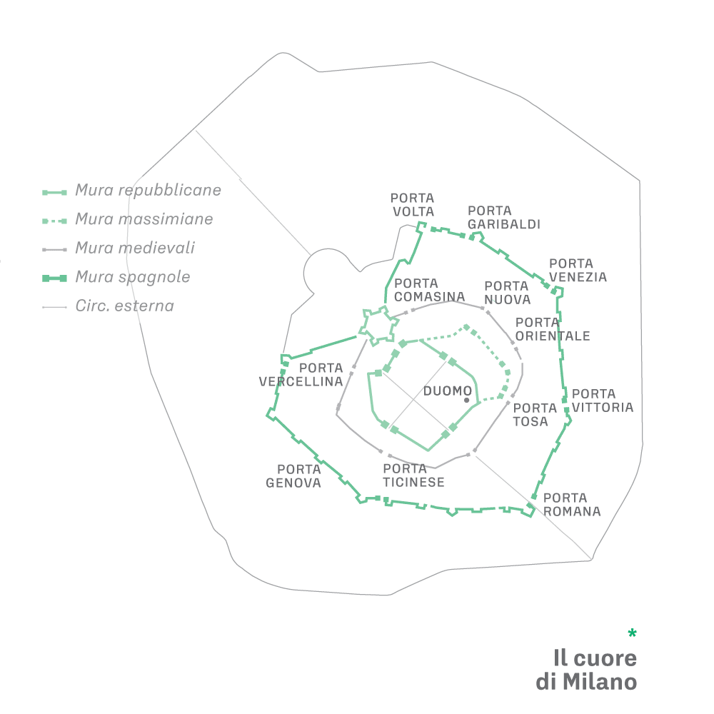
Milan Metro Map concept redesign by 100km Studio: In this project, I've contributed during my internship in the reimagination of the layout of Milan's underground and overground metro system. The new approach introduces a unique twist: The central white area is geographical: each point corresponds to the map. It contains the outer ring road, the circle of Bastions and the circle of Navigli; here the distances between map elements are real. The coloured areas and the outer space are a diagram: the positions of the stops are schematic and do not reflect the geography of the individual places.

© matteopostinghel.com